Cycling up to Val Thorens via Côte-Derrière

起点 Moûtiers

平均长度 : 3h30

Cycling up to Val Thorens via Côte-Derrière

访问

起点 :

纬度 :

6.531927

经度 :

45.484853

地图参考 :

Explore Savoie cycling map available from the tourist office.

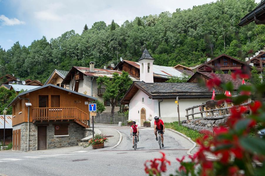
1354 Points -This variant of the classic ascent to Val Thorens is just as long and difficult as the other, but has the advantage of greater tranquillity.

Une variante agréable qui evite le passage sur la route principale. Mais attention, le village de St Laurent de la côte ne porte pas son nom par hasard ! Il vous faudra enchainer rudes épingles et forts pourcentages pour y parvenir avant de rejoindre ensuite la route classique à St Martin. Cette ascension a vu le passage du tour de France en 2019 lors d'une courte étape Albertville-Val Thorens.

有用信息

起点 Moûtiers

平均长度 : 3h30

难度 : 非常困难

Aller itinerance

距离 : 35.2 km

高度差 : 1850 m

0

最高海拔 : 2350 m

路标路线

联系我们

电话:

 04 79 04 29 05

电子邮件:

 tourisme@coeurdetarentaise.fr

服务项目

价格

自由访问.

使用时间

从01/05到30/10

主页

允许携带宠物
Z

探索我们的徒步路线

missing alt

徒步运动

Chemin de Villarnard

Courchevel

3.2km

徒步者/徒步旅行者

0m

580m

missing alt

徒步运动

Lacs Merlet - Col de Chanrouge

Courchevel

16.7km

困难

810m

810m

missing alt

徒步运动

沉思之路

Courchevel

1.6km

徒步者/徒步旅行者

135m

135m

这条新颖的小径面向广大受众,以一种敏感和身临其境的方式,邀请步行者在马蒂根纳森林的中心地带探索大自然。

探索滑雪道

搜索

雪况报告

搜索

天气预报

度假村

°

上午

°

下午

雪道

°

上午

°

下午

搜索

我们的合作伙伴

Logo Volvo   Discover GroupLogo HesperideLogo La Croix   Sports

标签

Label Courchevel   Famille PlusLabel Courchevel   Villes et Villages Fleuris