


01 / 08
Itinéraire VTTAE - Col de la loze depuis Courchevel
访问
起点 :
纬度 :
6.633942
经度 :
45.41503
地图参考 :
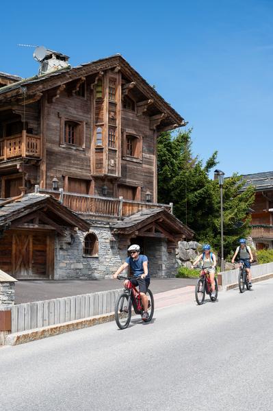
Opt for an electric bike for an effortless sightseeing tour through the Tarentaise Vanoise valleys. Along quiet, easygoing, waymarked trails, the most beautiful scenery and delights of our region will open up before you.
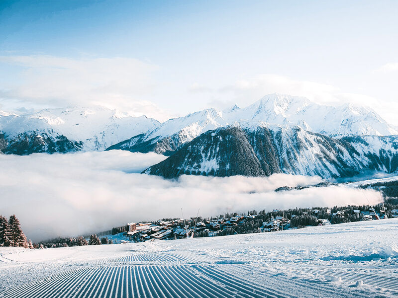
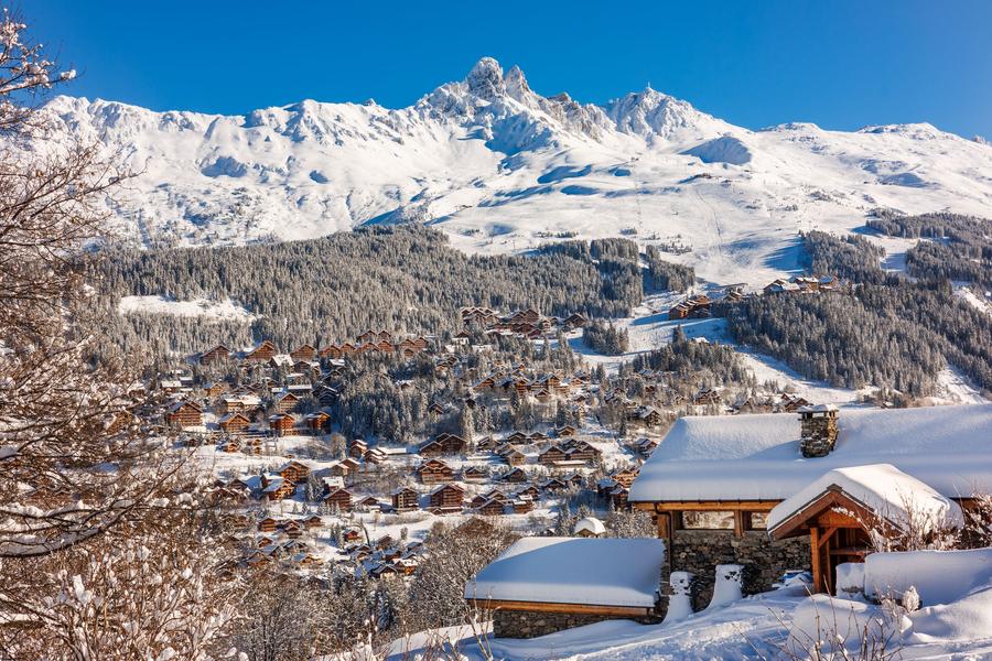
Amble your way between the resorts of Méribel and Courchevel via the Col de la Loze mountain pass, which culminates at an altitude of 2,304m, and can only be reached by bike! The scenery is truly breathtaking. Along the way: mountain pasture chalets, a lake and stunning viewpoints.
服务项目
价格
自由访问.
使用时间
从01/06到30/09
主页
不接受宠物
1/8

探索我们的徒步路线

徒步运动
维拉德小径 - 9 公里
Courchevel
9km
困难
940m
940m
一条永久性的山间小径

徒步运动
Courchevel
5km
非常困难
1000m
1000m
一条永久性的山间小径

徒步运动
Arête de la Saulire - Col du Fruit
Courchevel
10.2km
徒步者/徒步旅行者
140m
450m


