

Passage de Plassa
访问
起点 :
纬度 :
6.660478
经度 :
45.408262
地图参考 :
This path leads to a monumental cairn (3.5m).
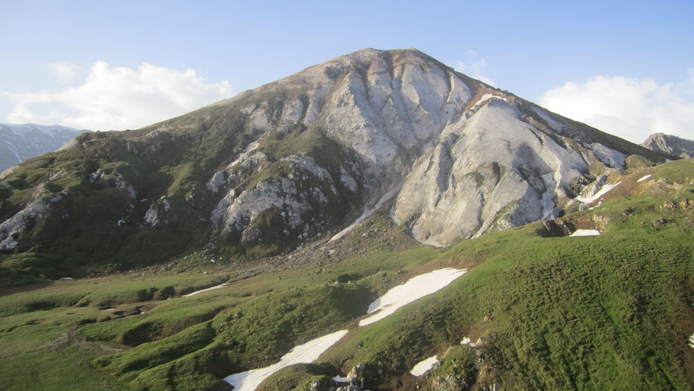
Beyond the passageway, a vast scree slope reveals the remains of a plane that crashed on December 19, 1969.
COL DE MEY (8'')
- temps de marche : 8h30
- distance : 20,3 km
- dénivelé : D+ 1270 m / D- 1270 m
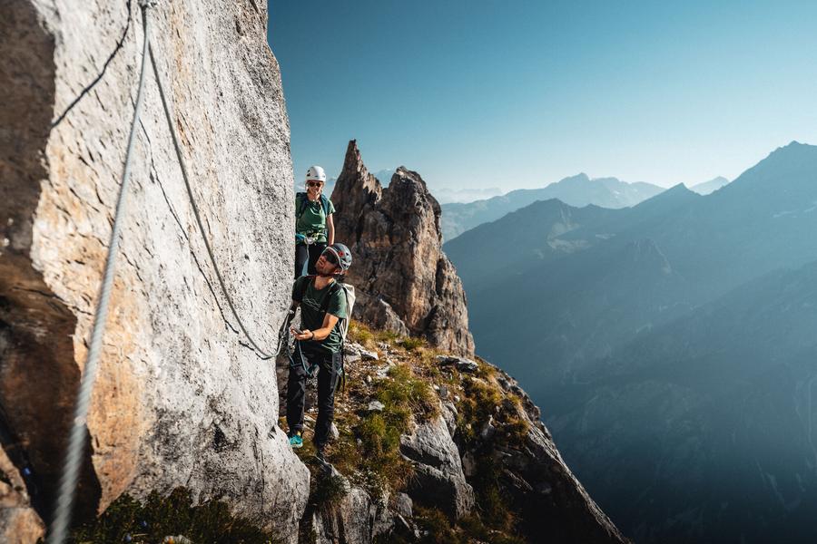
For the more experienced, a via cordata (a rocky footpath equipped with a cable) allows you to continue to the Col de Mey mountain pass. Not a good idea if you suffer from vertigo!
VIA CAVO DEL MEY, a vertiginous and breathtaking hike (via cordata)
- temps du parcours : 1h00
- distance du parcours : 0,8 km
- dénivelé : D+ 180 m
Reserved or adventurers and sports enthusiasts who love thrills, the brand new Courchevel hike makes you feel...dizzy. A cabled course on rocky ledges facing the Vanoise glaciers. Helmet, lanyards and harness required.
服务项目
价格
自由访问.
使用时间
从01/05到31/10
需天气良好
主页
允许携带宠物
探索我们的徒步路线

徒步运动
沉思之路
Courchevel
1.6km
徒步者/徒步旅行者
135m
135m
这条新颖的小径面向广大受众,以一种敏感和身临其境的方式,邀请步行者在马蒂根纳森林的中心地带探索大自然。

徒步运动
Les prairie de Pralin-Mugnier
Courchevel
2.4km
儿童
70m
70m

徒步运动
Aquamotion
Courchevel
km
-m
-m


