01 / 04
Chemin des chevreuils
Accesso
Partendo da :
Latitudine :
6.597822
Longitudine :
45.431788
Riferimento mappa :
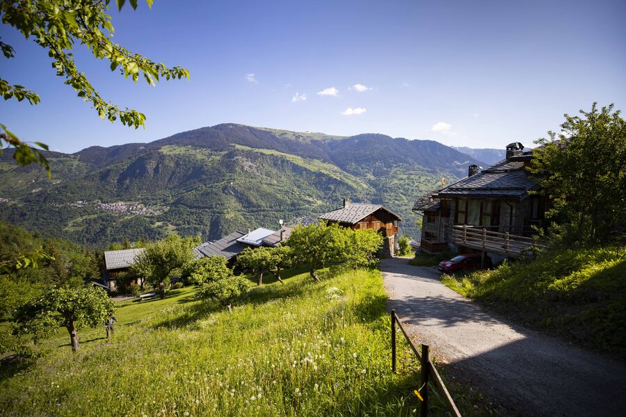
Cut out of the rock face, this footpath links the villages of Le Praz and La Tania and gives you pretty views of villages on the facing mountainside.
“Chemin des Chevreuils” Hiking Symbol
By shuttle bus, get off at the “La Tania” stop.
By car, drive to La Tania from Le Praz and park, either in Le Saz car park before returning to the resort, or in Le Formier car park in the resort centre.
A hiking symbol is located next to the “Route de Praz Juget” at the resort entrance, down from the La Tania gondola lift departure station.
Servizi
Prezzi
Gratuito.
Periodo(i) di utilizzo
Da 01/01 a 31/12
Con riserva di condizioni atmosferiche favorevoli
Casa
Animali domestici ammessi
1/4
Da scoprire nei dintorni
Esplora le nostre passeggiate

Sport pedestri
Sentiero delle 1000 marce - Col de la Chal
Courchevel
9.3km
Escursionisti
730m
730m
Una variante di salita per raggiungere la Dent du Villard. Se richiede un po' di sforzo, è per offrire il grandioso spettacolo dei fumaioli di dissoluzione. Cosa sono? Salite a dare un'occhiata e fate come i camosci: il grand tour attraverso il Col de la Chal!

Sport pedestri
Circuit des Teppes
Courchevel
3km
Livello verde – facile
130m
130m

Sport pedestri
Chemin des Travers (Buisson, Fontanil, Cuerdy)
Courchevel
2km
Escursionisti
30m
180m
Scoprite le frazioni di Saint-Bon dove il tempo sembra essersi fermato. Chiedete la guida del patrimonio, disponibile presso gli Uffici del Turismo: non avrà segreti per voi. Ritorno in autobus dalla fermata "Petit Carrey".