

Panoramic Via Ferrata
Accesso
Partendo da :
Latitudine :
6.610488
Longitudine :
45.383517
Riferimento mappa :
A perfect warm-up via ferrata before the big loop of the Croix des Verdons via ferrata.
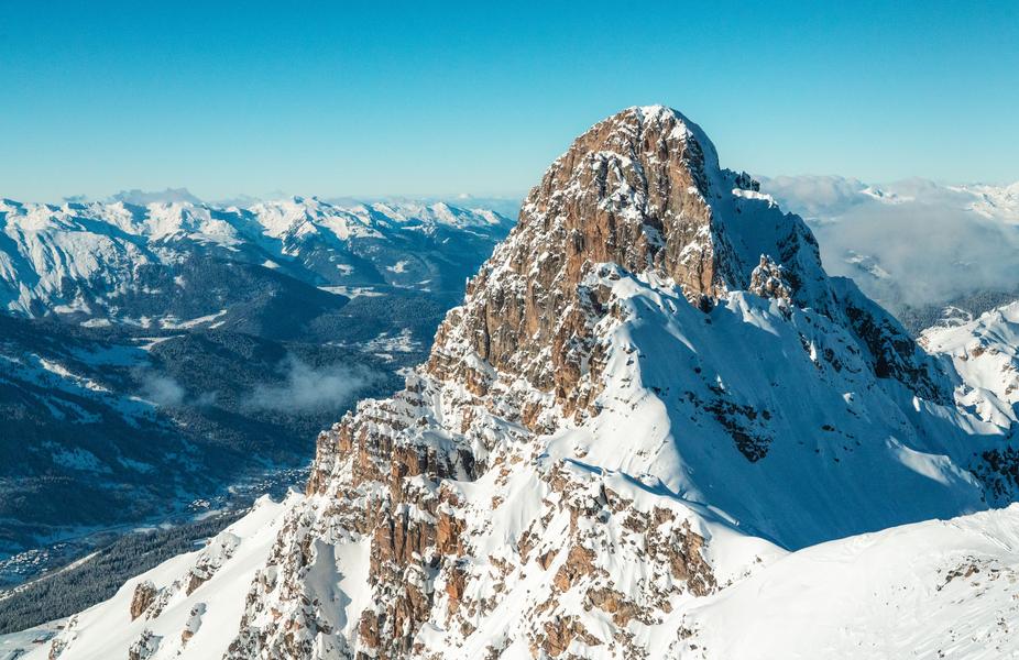
At the top of the Saulire, a small via leads around the Panoramic restaurant, with a monkey bridge.
From the top of the Saulire cable car, the departure point is just below the platform (immediate access from the path leading to the Via de la Croix des Verdons).
Accessible in summer by ski lift (Verdons gondola, then Saulire cable car)
or in autumn on foot from the Altiport (2h walk and 700m D+).
IMPORTANT
Before embarking on a via ferrata, you must :
- know and apply the safety instructions
- know the main via ferrata hazards
- ascertain the expected level of difficulty and your current physical abilities
- equip yourself with warm clothing and the right technical equipment (and use it correctly)
- make sure none of the components are part of products recalled by manufacturers
If you have any doubts, don't hesitate to ask a professional mountain guide to help you.
Servizi
Prezzi
Accesso libero.
Periodo(i) di utilizzo
Da 01/07 a 31/08
Con riserva di condizioni atmosferiche favorevoli
Casa
Non si accettano animali domestici
Da scoprire nei dintorni
Esplora le nostre passeggiate

Sport pedestri
Brèche de Portetta
Courchevel
11.4km
Escursionisti
830m
830m

Sport pedestri
Plan du Vah - Sentier des Tufs
Courchevel
3.1km
Livello verde – facile
130m
130m
Questo sentiero raggiunge il lago di Plan du Vah in mezzo agli abeti, dove potrete fare il pieno di energia presso il piccolo rifugio in stile canadese e praticare attività divertenti e originali intorno al lago.

Sport pedestri
Les prairie de Pralin-Mugnier
Courchevel
2.4km
Bambini
70m
70m


