

Tour de la Dent
Accesso
Partendo da :
Latitudine :
6.668345
Longitudine :
45.407716
Riferimento mappa :
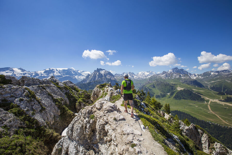
Passing through a protected wilderness area, this path is full of curious geological features related to gypsum. Few people walk this route. Tell someone exactly where you’re going, start out early and do not attempt in stormy weather.
Lac de la Rosière Car Park
By shuttle bus (line H), go to the end of the line and get off at the “Lac de la Rosière” stop.
By car, turn left at the first roundabout as you come into Courchevel Moriond, take several sharp bends heading towards Belvédère and take “Route de la Rosière” going downhill on the left, on the same level as the hiking symbol, just after Le Zenith hotel.
It can sometimes be difficult to park at La Rosière, so we recommend that you park at the Cimes Blanches car park (free covered car park in summer) in Courchevel Moriond, and take a shuttle bus that will drop you right at the site entrance.
Servizi
Prezzi
Gratuito.
Periodo(i) di utilizzo
Da 01/05 a 31/10Da 01/05 a 31/10
Con riserva di condizioni atmosferiche favorevoli
Casa
Animali domestici ammessi
Da scoprire nei dintorni
Esplora le nostre passeggiate

Sport pedestri
Lacs Merlet
Courchevel
9km
Bambini
470m
470m

Sport pedestri
Combe de la Saulire
Courchevel
6.3km
Escursionisti
0m
930m
Dalla cima della Combe de la Saulire, ammirate la maestosità del Monte Bianco, con una vista a volo d'uccello sulla località di Courchevel: campo da golf, Lac du Biollay, altiport.

Sport pedestri
Circuit de la Nouvaz
Courchevel
2km
Escursionisti
140m
140m
Questo sentiero conduce alla graziosa frazione di La Nouvaz, dove passa sotto un arco di pietra tra due case e poi risale attraverso un anello nel bosco. Può essere combinato con lo chemin des chevreuils.


