

01 / 02
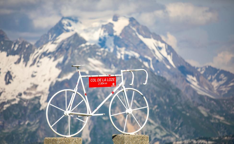
Col de la Loze par Dos des Branches
Access
Starting from :
Latitude :
6.592204
Longitude :
45.431693
Map ref. :
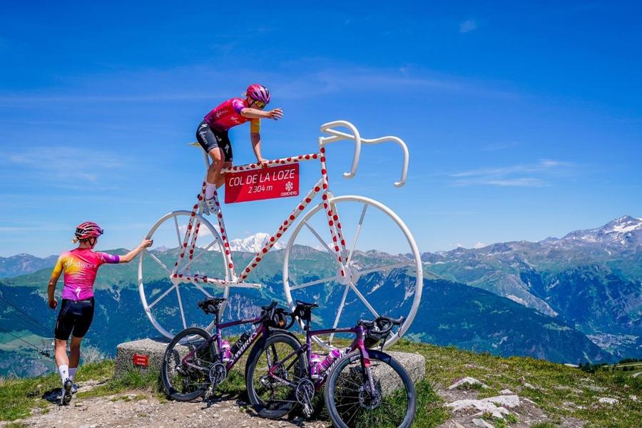
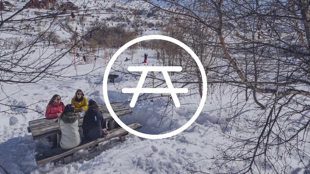
A lovely but strenuous walk up to the Col de la Loze mountain pass, where you can enjoy 360° panoramic views of the peaks from the orientation table and the breath-taking sight of Mont Blanc.
Discover the legendary Col de la Loze from Courchevel La Tania!
Services
Rates
Free access.
Period(s) of use
From 01/05 to 31/10
Subject to favorable weather
Home
Pets allowed
1/2

Things to discover nearby
Explore our hikes

Pedestrian sports
Aquamotion
Courchevel
km
-m
-m
The route takes you through the old hamlet of Moriond. Be sure to stop at Aquamotion, the biggest aqua-leisure centre in the mountains.

Pedestrian sports
24 - Sandraz - Bois du Ban (été)
Courchevel
3.4km
Walkers/hikers
90m
140m
This path takes you to Kamelot Camp amongst the fir trees, where you can refuel at the little Canadian-style cabin and sample fun, original activities at the lake.

Pedestrian sports
Lacs Merlet
Courchevel
9km
Children
470m
470m
Explore two jewels of the Vanoise national Park – the upper lake is the deeper of the two (28m).


