


01 / 02
Courchevel - Col de la Platta
Access
Starting from :
Latitude :
6.653134
Longitude :
45.418688
Map ref. :
Découvrez ce parcours de Gravel de 24,7 km à proximité de Courchevel. Il présente une ascension cumulée de plus de 960m.
Ce parcours réservé aux experts du Gravel (cotation Rouge) permet de rejoindre le Col de la Platta en alternant petite route et pistes dans les alpages.
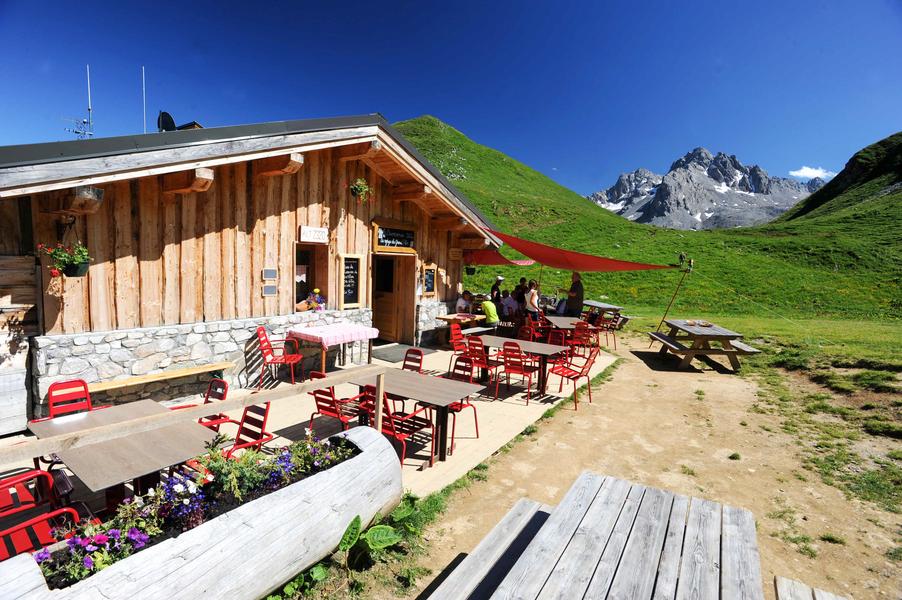
Un court passage sur singletrack (1km environ) où les techniciens pourront s'exprimer, permet ensuite de rejoindre le refuge du Gran Plan. Vous pourrez vous ravitailler ou recharger la batterie pour ceux qui sont en électrique sur la borne dédiée.
La descente commence par une partie plutôt caillouteuse avant de devenir plus roulante dans cette magnifique vallées des Avals
Services
Rates
Free access.
Period(s) of use
From 01/05 to 31/10
Subject to favorable weather
Home
1/2

Things to discover nearby
Explore our hikes

Pedestrian sports
Courchevel
9km
Level red – hard
940m
940m

Pedestrian sports
Courchevel
6km
Level green – easy
175m
175m

Pedestrian sports
Boucle du rocher de la Loze
Courchevel
7.3km
Walkers/hikers
430m
430m
The Rocher de la Loze is an amazing viewpoint, so take the time to admire the Vanoise glaciers and Mont Blanc.


