

Descente Courchevel Le Praz
Access
Starting from :
Latitude :
6.643134
Longitude :
45.422206
Map ref. :
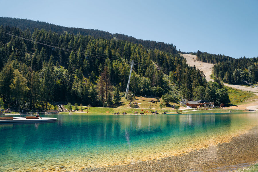
Head across the meadows to the traditional village of Courchevel Le Praz and the lake, enjoying views of the hamlets on the facing mountainside.
"Courchevel Village Tourist Office
By shuttle bus, get off at the “Courchevel Village” stop.
By car, park in the Les Grangettes* car park, in the resort centre (free covered car park in summer).
Continue on foot to Courchevel Village’s main road “Rue des Rois”, and take the path going downhill on the right just after “Les Flocons” hotel. There’s also another route from Les Brigues, taking the road that goes downhill on the right at the first sharp bend on “Route des Brigues”, level with the aerial."
Services
Rates
Free access.
Period(s) of use
From 01/05 to 31/10From 31/05 to 31/10
Subject to favorable weather
Home
Pets allowed
Things to discover nearby
Explore our hikes

Pedestrian sports
Chemin des chevreuils
Courchevel
4.1km
Walkers/hikers
100m
100m
Cut out of the rock face, this footpath links the villages of Le Praz and La Tania and gives you pretty views of villages on the facing mountainside.

Pedestrian sports
Crêtes du Mont Charvet
Courchevel
11km
Walkers/hikers
830m
830m
This high-level walk takes you past sinkholes and offers amazing panoramic views. When you get to Le Biol, you’ll see a stone - the remains of the old mountain hut that was carried away by an avalanche in 1999.

Pedestrian sports
Sentier botanique et Cascade des Poux
Courchevel
2.7km
Walkers/hikers
100m
100m
Being close to water is very relaxing as you walk through the light-filled forest. Look out for a wide range of rare and protected species along the way. Avoid in heavy rain.


