
Enduro - La Dérotchu
Access
Starting from :
Latitude :
6.633264
Longitude :
45.414555
Map ref. :
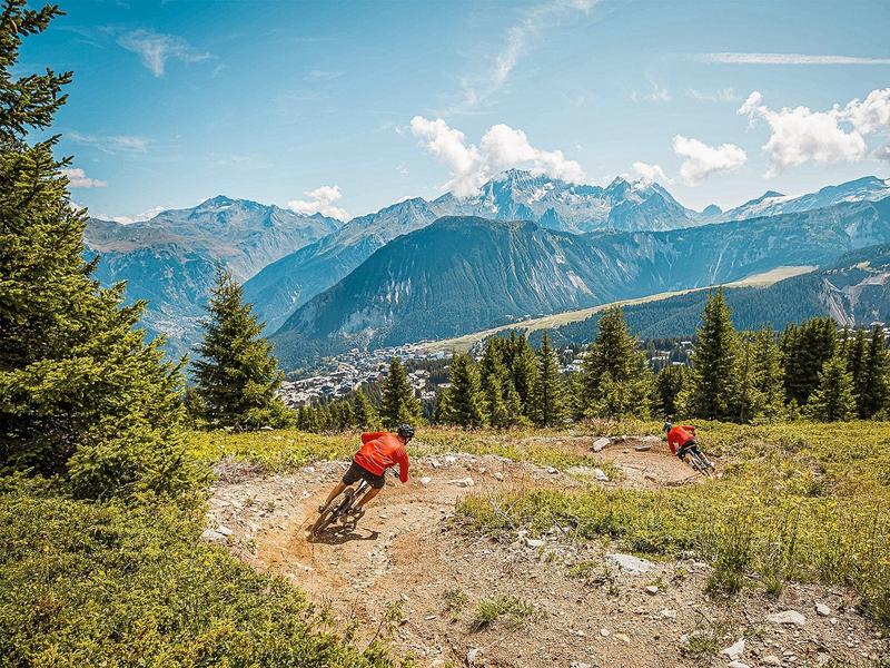
Blue Enduro trail between Courchevel 1850 and Courchevel Moriond.
Services
Rates
Free access.
Period(s) of use
From 01/06 to 30/09
Subject to favorable weather
Home
Pets allowed
Things to discover nearby
Explore our hikes

Pedestrian sports
Rocher de Villeneuve
Courchevel
15.7km
Walkers/hikers
1300m
1300m
This quiet little peak has dazzling panoramic views of the Vanoise glaciers. We recommend that you go back down via Le Col de la Dent.

Pedestrian sports
Sentier des Verdons
Courchevel
2.8km
Walkers/hikers
10m
320m
This route takes you up in a gondola lift, giving you great views of the Grande Casse (highest peak in the Savoie region: 3,855m). Look out for marmots on the ledge 100 metres from the gondola lift station. Watch out for cyclists and golfers.

Pedestrian sports
Boucle du rocher de la Loze
Courchevel
7.3km
Walkers/hikers
430m
430m
The Rocher de la Loze is an amazing viewpoint, so take the time to admire the Vanoise glaciers and Mont Blanc.


