

Enduro - Le Bondge
Access
Starting from :
Latitude :
6.620432
Longitude :
45.431814
Map ref. :
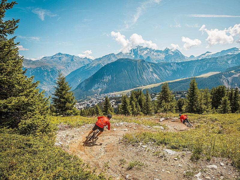
Green Enduro trail between Courchevel Le Praz and Saint-Bon.
Services
Rates
Free access.
Period(s) of use
From 01/06 to 30/09
Subject to favorable weather
Home
Pets allowed
Things to discover nearby
Explore our hikes

Pedestrian sports
Chemin des Travers (Buisson, Fontanil, Cuerdy)
Courchevel
2km
Walkers/hikers
30m
180m
Explore the hamlets of Saint-Bon, where time seems to stand still. Ask for a copy of the heritage guide at any tourist office : it tells you all about them. Shuttlebus available for return journey.

Pedestrian sports
Courchevel
km
Level green – easy
-m
-m

Pedestrian sports
Abri du Bec de l'Aigle
Courchevel
2.6km
Level green – easy
170m
170m
There is a Mediterranean forest feel to this route, which takes you to a stone shelter.


