

Enduro - Pradam
Access
Starting from :
Latitude :
6.64159
Longitude :
45.422026
Map ref. :
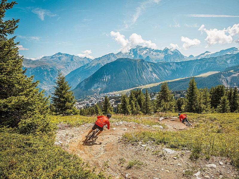
New blue Enduro trail between Courchevel Village and Courchevel Le Praz
Services
Rates
Free access.
Period(s) of use
From 01/06 to 30/09
Subject to favorable weather
Home
Pets allowed
Things to discover nearby
Explore our hikes

Pedestrian sports
Tour de la Dent
Courchevel
12.9km
Walkers/hikers
1080m
1080m
Passing through a protected wilderness area, this path is full of curious geological features related to gypsum. Few people walk this route. Tell someone exactly where you’re going, start out early and do not attempt in stormy weather.

Pedestrian sports
Circuit des Teppes
Courchevel
3km
Children
130m
130m
A great place to relax and have a picnic with the added bonus of a view of the Grand Bec, the Tarentaise Valley and the resort of Courchevel La Tania from a viewpoint on the way back. You can do a circuit via the 4x4 track.

Pedestrian sports
Passage de Plassa
Courchevel
24.7km
Walkers/hikers
1300m
1300m
This path leads to a monumental cairn (3.5m). Beyond the passageway, a vast scree slope reveals the remains of a plane that crashed on December 19, 1969.


