

La Pierre aux Pieds walking trail
Access
Starting from :
Latitude :
6.926231
Longitude :
45.298641
Map ref. :
Map IGN 3633ET - Tignes Val-d'Isère Map IGN 3634OT - Val Cenis
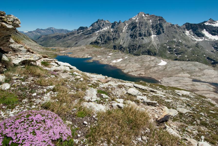
Discover a mysterious rock with cup marks engraved by prehistoric man. Arriving at an altitude of 2,750 metres, will you be able to spot the 82 footsteps carved into the rock?
Enjoy a steady climb decked out in Scots pine from the very first switchbacks. Your feet dance their way between the twisted roots of these trees that love to grow on south-facing slopes. Soon, you reach a welcoming clearing. Take a well-deserved break at La Fesse d'en Bas. Enter the picture-perfect world of alpine chalets amid pastures dotted with grazing animals. Depending on the season, Mountain Arnica and Great Yellow Gentian flowers may spread at your feet as you make your way to Vallonbrun Refuge. The hike's second section is terraced and starts at the heart of Vanoise National Park. Endless panoramic views await you! Stealthily step into a place that truly lives up to its name... Welcome to "Les Marmottières". To finish off in style, push on a bit further with a demanding uphill climb. What's that strange rock that seems to have been left behind above the
valley several millennia ago? Inspect your discovery closely, but don't touch it. Then, relax and enjoy the view before light-heartedly starting your descent.
Services
Rates
Free access.
Period(s) of use
From 15/07 to 01/10
Subject to favorable weatherSubject to snow conditions
Home
Pets not allowed
Things to discover nearby
Explore our hikes

Pedestrian sports
Combe de la Saulire
Courchevel
6.3km
Level red – hard
0m
930m
From the top of Combe de la Saulire, facing Mont Blanc, view down onto the resort of Courchevel: golf course, Lac du Biollay, altiport. At the bottom of the cable car, fallow the footpath (n°17) to the resort.

Pedestrian sports
Crête des Gravelles
Courchevel
3.3km
Level red – hard
270m
270m
Walk to the top of a small summit – a really lovely spot for a picnic (and others) on the shores of the Plan du Vah lake.

Pedestrian sports
Col de la Loze par Dos des Branches
Courchevel
14.7km
Walkers/hikers
960m
960m
A lovely but strenuous walk up to the Col de la Loze mountain pass, where you can enjoy 360° panoramic views of the peaks from the orientation table and the breath-taking sight of Mont Blanc.


