


01 / 02
Loza walking tour
Access
Starting from :
Latitude :
6.805526
Longitude :
45.264204
Map ref. :
Map IGN 3634OT - Val Cenis Map IGN 3534OT - Les Trois Vallées
This hike is full of contrasts, skilfully leading you from a wooded atmosphere to high-altitude alpine meadows and pastures. The south-facing slope is perfect for off-season hikes that demand a certain amount of sunshine.
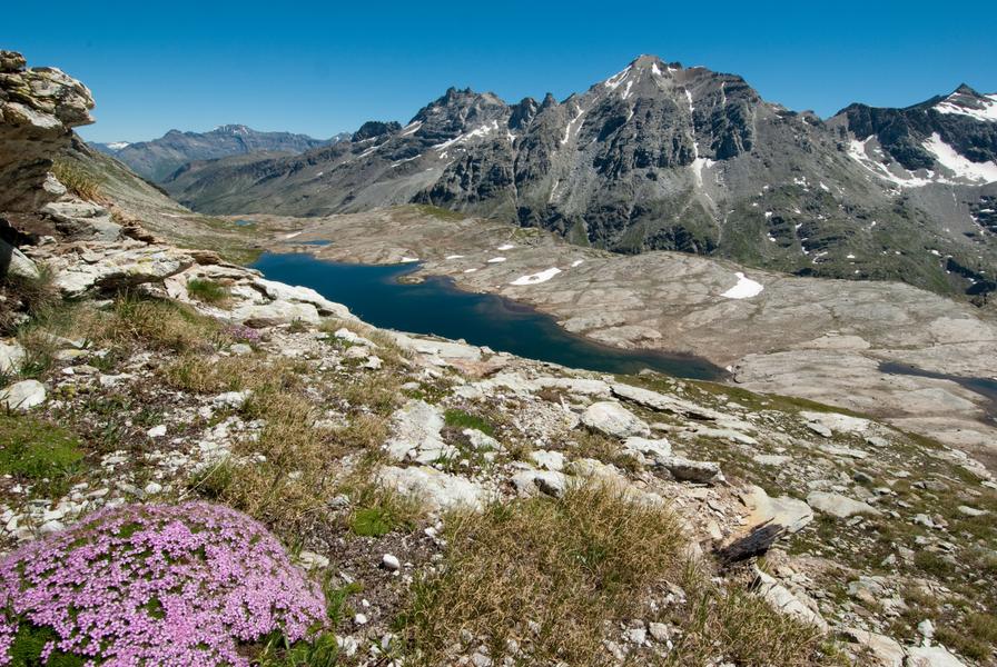
Ready to cross the 1,000-metre threshold in elevation gain? Have you ever heard Scots pine cones popping under the sun's rays? It's a sound you're bound to hear on this long, sustained ascent through the fragrant pine forest towards the Mont at 1,770 metres of altitude. You may also catch a glimpse of snow heather, a rare and protected plant, dressed in beautiful shades of pink. It's such an early bloomer that its petals somehow manage to burst through the last snows. The open clearing now gives way to another ascent – the hike's last challenging climb. Bursting with pride, you enter Vanoise National Park. The slope grows gentler as you reach Croix de la Loza. Take a seat at this observation post. Before you rise the peaks of Bramanais and Mont Cenis, sometimes wrapped in clouds blown by the Lombarde wind. Take care as you descend into the Bonne Nuit valley. From its impressive altitude of 3,695 metres, Dent Parrachée and its sharp ridges command respect. Imagine the spectacular avalanches that sometimes cascade down Sollières in winter! As you go down, make sure you take plenty of refreshing breaks and tie up your laces properly.
Services
Rates
Free access.
Period(s) of use
From 01/06 to 15/10
Subject to favorable weatherSubject to snow conditions
Home
Pets not allowed
1/2

Things to discover nearby
Explore our hikes

Pedestrian sports
Petit Mont Blanc
Courchevel
20.2km
Level red – hard
970m
970m
Enjoy 360° panoramic views from the Vanoise glaciers to Mont Blanc. The peak takes its name from its rounded shape, similar to that of its big brother, and the gypsum that looks like snow.

Pedestrian sports
Crêtes du Mont Charvet
Courchevel
11km
Walkers/hikers
830m
830m
This high-level walk takes you past sinkholes and offers amazing panoramic views. When you get to Le Biol, you’ll see a stone - the remains of the old mountain hut that was carried away by an avalanche in 1999.

Pedestrian sports
Descente Courchevel Le Praz
Courchevel
2km
Walkers/hikers
10m
210m
Head across the meadows to the traditional village of Courchevel Le Praz and the lake, enjoying views of the hamlets on the facing mountainside.


