

Walking tour of the Plan d'Amont dam
Access
Starting from :
Latitude :
6.725209
Longitude :
45.2533
Map ref. :
Map IGN 3534OT - Les Trois Vallées
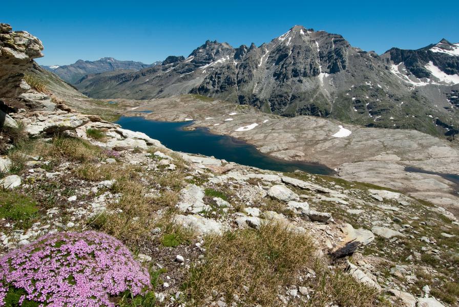
Enjoy a walk along this terraced path, eyes drawn to the hypnotising colours
of the lake. Feel the serenity as you cross the sunny alpine pastures and
clearings. Hike right into the Vanoise National Park. You'll feel like you're
a million miles from home!
If you love views of landscapes dramatically falling away from you, then every
step of this hike will be a delight. The artificial lake, twinkling like a diamond
in its case, attracts your eyes every time you look up towards the horizon.
Whatever the season, the colours cast a magic spell. Even the marmots'
little cries of alarm won't take your attention from the satin-smooth surface.
This water basin in the high-altitude grasslands plays a crucial role in storing
water for the neighbouring valley. Like its downstream counterpart, Plan
d'Amont's hydroelectric dam is used, among other things, to power ONERA's
international wind tunnel, a flagship aerospace research project that tests
model aircraft and rockets.
At La Fournache refuge, take a rest as you imagine all those seasoned
mountaineers heading towards Pointe de Labby or Dent Parraché, majestically
rising up above you to a height of over 3,500 metres above sea level.
Services
Rates
Free access.
Period(s) of use
From 15/05 to 15/10
Subject to favorable weatherSubject to snow conditions
Home
Pets not allowed
Things to discover nearby
Explore our hikes

Pedestrian sports
Jardin Alpin
Courchevel
km
-m
-m
Despite being an urban walk, this route includes a few green spots, and will take you to discover some of the resort’s most beautiful hotels.

Pedestrian sports
Rocher de Villeneuve
Courchevel
15.7km
Level red – hard
1300m
1300m
This quiet little peak has dazzling panoramic views of the Vanoise glaciers. We recommend that you go back down via Le Col de la Dent.

Pedestrian sports
Combe de la Saulire
Courchevel
6.3km
Level red – hard
0m
930m
From the top of Combe de la Saulire, facing Mont Blanc, view down onto the resort of Courchevel: golf course, Lac du Biollay, altiport. At the bottom of the cable car, fallow the footpath (n°17) to the resort.


