


01 / 02
Passage de Plassa
Zugang
Ausgehend von :
Breitengrad :
6.660478
Längengrad :
45.408262
Kartenref. :
This path leads to a monumental cairn (3.5m).
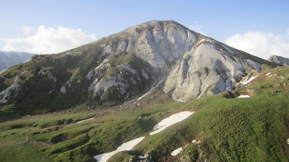
Beyond the passageway, a vast scree slope reveals the remains of a plane that crashed on December 19, 1969.
COL DE MEY (8'')
- temps de marche : 8h30
- distance : 20,3 km
- dénivelé : D+ 1270 m / D- 1270 m
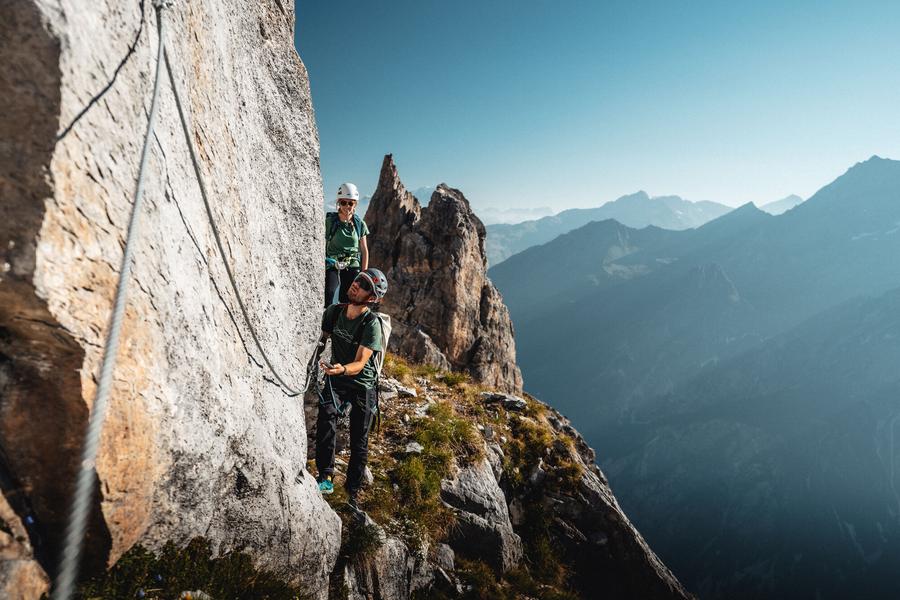
For the more experienced, a via cordata (a rocky footpath equipped with a cable) allows you to continue to the Col de Mey mountain pass. Not a good idea if you suffer from vertigo!
VIA CAVO DEL MEY, a vertiginous and breathtaking hike (via cordata)
- temps du parcours : 1h00
- distance du parcours : 0,8 km
- dénivelé : D+ 180 m
Reserved or adventurers and sports enthusiasts who love thrills, the brand new Courchevel hike makes you feel...dizzy. A cabled course on rocky ledges facing the Vanoise glaciers. Helmet, lanyards and harness required.
Leistungen
Preise
Freier Zugang.
Zeitraum(e) der Praxis
Von 01/05 bis 31/10
Nur bei günstigen Wetterbedingungen
Empfang
Haustiere akzeptiert
1/2

Sehenswürdigkeiten in der Umgebung
Unsere Wanderungen erkunden

Laufsportarten
Boucle de Mateigena
Courchevel
2.4km
Wanderer
130m
130m

Laufsportarten
Pfad der Kontemplationen
Courchevel
1.6km
Wanderer
135m
135m
Dieser originelle Rundgang, der sich an ein breites Publikum richtet, lädt den Wanderer ein, die Natur im Herzen des Waldes von Mateigena auf eine sensible und immersive Weise zu entdecken.

Laufsportarten
Plan du Vah - Sentier des Tufs
Courchevel
3.1km
Wanderer
130m
130m


