Vanoise pass and refuge hike
Zugang
Ausgehend von :
Breitengrad :
6.828907
Längengrad :
45.329511
Kartenref. :
Map IGN 3633ET - Tignes Val-d'Isère Map IGN 3534OT - Les Trois Vallées
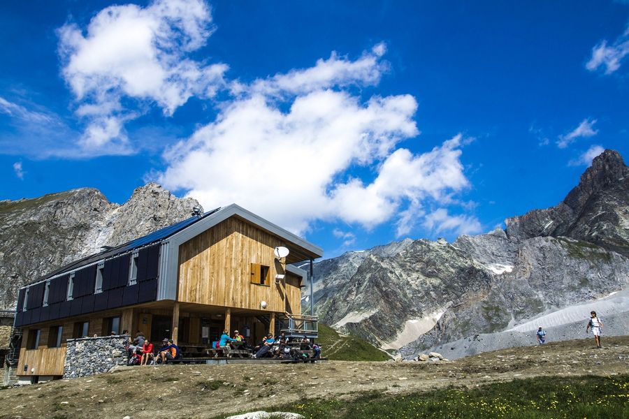
Get up close and personal to the glaciers of the Vanoise, at altitudes of up to 2,500 metres. Embark on a journey along one of the National Park's most iconic routes. For the ultimate high-mountain experience, what better than passing through three refuges?
To fully appreciate this hike, you'll probably want to spend a night in one of our
a night in one of the refuges along the way. Adventure in the land
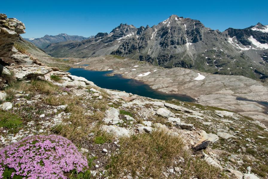
of high-altitude meadows and wide-open spaces. As you approach the Plan du Lac refuge, you enter the world of marmots, chamois and lammergeiers. In the distance, the road ahead still seems long, and the glaciers seem to approach as you walk. Framed by La Grande Casse and Pointe de la Réchasse, follow in the footsteps of seasoned mountaineers. The sometimes steep climbs contrast with the long, welcoming valley that awaits you. A string of lakes - and the passage of many hikers in summer - announce your proximity to the pass. Another world opens up on the outskirts of Lac Rond. For those accustomed to the area, the retreat of the glaciers is obvious.
Leistungen
Preise
Freier Zugang.
Zeitraum(e) der Praxis
Von 15/06 bis 01/10
Nur bei günstigen WetterbedingungenNur bei günstigen Schneeverhältnissen
Empfang
Haustiere werden nicht akzeptiert