


01 / 03
Itinéraire géologie et paysage au lac de la Rosière
Access
Starting from :
Latitude :
6.6673
Longitude :
45.408781
Map ref. :
D’où viennent ces grands ravins blancs de la Dent du Villard qui captent si bien la lumière ?
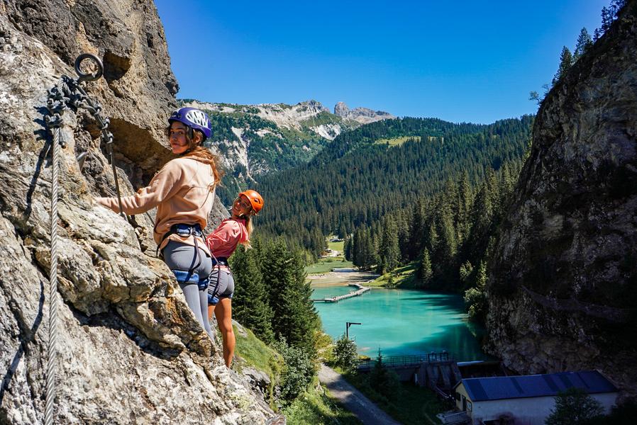
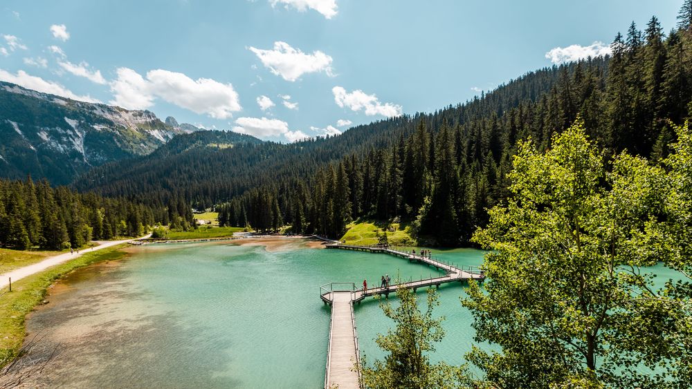
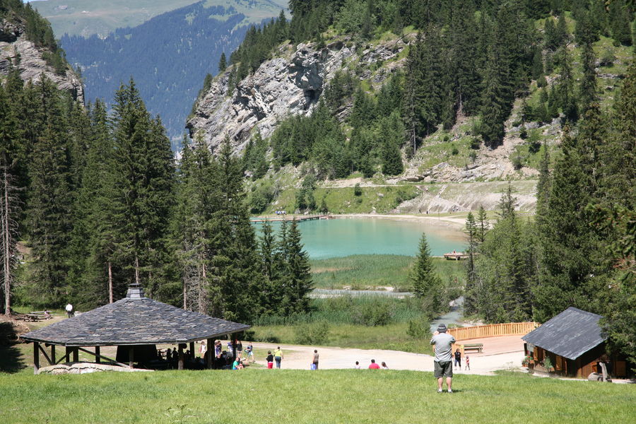
Comment ce lac bleu turquoise s’est-il formé ? Est-il ancien ? D'où sortent les surprenantes sources et cascades ?
Tant de questions sur ce lieu enchanteur auxquelles la géologie peut essayer de répondre !
Services
Rates
Free access.
Period(s) of use
From 01/05 to 31/10
Subject to favorable weather
Home
1/3

Things to discover nearby
Explore our hikes

Pedestrian sports
Arête de la Saulire - Col du Fruit
Courchevel
10.2km
Walkers/hikers
140m
450m
This route gives you a taste of the high mountainside and the wild natural landscape at the entrance to the Vanoise National park. Amazing panoramic views over the Courchevel and Méribel valleys.
Pedestrian sports
Courchevel
km
Level green – easy
-m
-m

Pedestrian sports
Courchevel
9.1km
Level green – easy
490m
490m


