

Lake Rosière
Access
Starting from :
Latitude :
6.658543
Longitude :
45.412566
Map ref. :
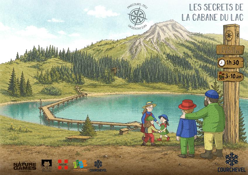
In a natural setting at the foot of the Dent du Villard, with the shimmering lake, this enchanting location is perfect for a quiet moment of contemplation. A great place to visit during your stay!
From the totem pole, take the trail down to the Chalet de la Rosière. You can extend your walk by taking the footbridge around the lake (this section is not groomed and avalanche-prone, so it's advisable to take it with a mountain guide).
Return to your starting point by the same route.
Services
Rates
Free of charge.
Period(s) of use
From 01/12 to 30/04
Subject to favorable weatherSubject to snow conditions
Home
Pets allowed
Things to discover nearby
Explore our hikes

Pedestrian sports
Jardin Alpin
Courchevel
km
-m
-m
Despite being an urban walk, this route includes a few green spots, and will take you to discover some of the resort’s most beautiful hotels.

Pedestrian sports
Sentier botanique et Cascade des Poux
Courchevel
2.7km
Level green – easy
100m
100m
Being close to water is very relaxing as you walk through the light-filled forest. Look out for a wide range of rare and protected species along the way. Avoid in heavy rain.

Pedestrian sports
Brèche de Portetta
Courchevel
11.4km
Walkers/hikers
830m
830m
See the Savoie region’s very own little Dolomites: explore the mineral-rich environment between the tall needles of rock. Watch out for snow fields at the start of the season. Don’t leave your car for too long at the foot of the rock face (danger of rock falls).


