


01 / 03
Itinéraire géologie et paysage au lac de la Rosière
Access
Starting from :
Latitude :
6.6673
Longitude :
45.408781
Map ref. :
D’où viennent ces grands ravins blancs de la Dent du Villard qui captent si bien la lumière ?
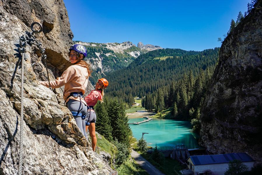
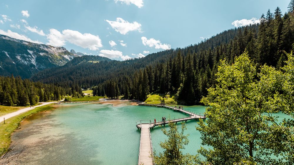
Comment ce lac bleu turquoise s’est-il formé ? Est-il ancien ? D'où sortent les surprenantes sources et cascades ?
Tant de questions sur ce lieu enchanteur auxquelles la géologie peut essayer de répondre !
Services
Rates
Free access.
Period(s) of use
From 01/05 to 31/10
Subject to favorable weather
Home
1/3

Things to discover nearby
Explore our hikes

Pedestrian sports
La Saulire - Lac des Creux
Courchevel
7.6km
Walkers/hikers
0m
930m
After stopping at the highest point in Courchevel and waving to Mont Blanc, you head back down to the centre of the resort.

Pedestrian sports
Le Grenier, Le Fay, Les Moulins
Courchevel
5.4km
Walkers/hikers
230m
240m
This circular hike can be extended to include three other hamlets or even Lac de Bozel, for the more daring among you.

Pedestrian sports
Sentier botanique et Cascade des Poux
Courchevel
2.7km
Level green – easy
100m
100m
Being close to water is very relaxing as you walk through the light-filled forest. Look out for a wide range of rare and protected species along the way. Avoid in heavy rain.


