
Trail de la dent du Villard - 13km
Access
Starting from :
Latitude :
6.668348
Longitude :
45.407739
Map ref. :
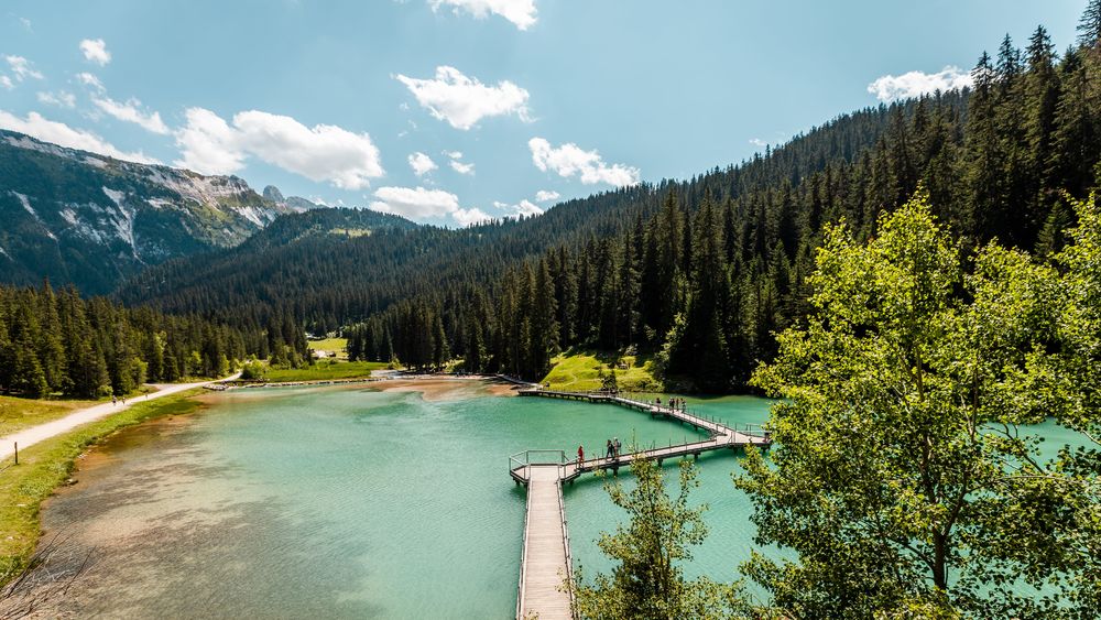
Un trail permanent typé montagne !
Au départ du lac de la Rosière à la découverte de l’un des sommets les plus emblématiques de la vallée : la dent du Villard.
Les traileurs y évoluent dans une zone classée Natura 2000, à la géologie unique, où les dolines de gypse donnent un aspect lunaire au parcours. Dépaysement assuré avec l’ascension de ce sommet à 2 284 m d’altitude, offrant un panorama à 360° sur les glaciers de la Vanoise.
Services
Rates
Free access.
Period(s) of use
From 01/05 to 31/10
Home
Things to discover nearby
Explore our hikes
Pedestrian sports
Courchevel
13km
1400m
1400m

Pedestrian sports
Courchevel Le Praz - Montcharvet - La Jairaz
Courchevel
6.9km
Quite hard
150m
150m
This panoramic circuit enjoys unobstructed views of the Grand Bec and villages on the opposite mountainside. The route might be a little long for anyone who isn’t used to walking.

Pedestrian sports
Abri du Bec de l'Aigle
Courchevel
2.6km
Walkers/hikers
170m
170m
There is a Mediterranean forest feel to this route, which takes you to a stone shelter.


