

Tout-Schuss
Access
Starting from :
Latitude :
6.619
Longitude :
45.396383
Map ref. :
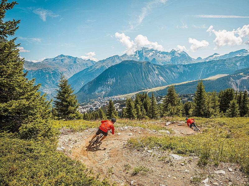
Piste de niveau bleu avec un profil de piste de descente (DH).
Adaptée à tous les niveaux, des personnes qui découvrent le VTT de descente et qui souhaitent passer à l’étape suivante après avoir testé La Godille, jusqu'aux rideurs et rideuses confirmés en recherchent de sensations.
Avec ces dix modules, constitués de gap, tables, step-up, vous pourrez vous perfectionner aux différentes techniques du VTT de descente.
Sur la partie haute du parcours, vous trouverez en parallèle de la piste un enchaînement de modules pour faire des sauts et décoller les roues du sol si vous le souhaitez.
Services
Rates
Free access.
Period(s) of use
From 01/07 to 31/08
Subject to favorable weather
Home
Pets not allowed
Things to discover nearby
Explore our hikes

Pedestrian sports
Brèche de Portetta
Courchevel
11.4km
Walkers/hikers
830m
830m
See the Savoie region’s very own little Dolomites: explore the mineral-rich environment between the tall needles of rock. Watch out for snow fields at the start of the season. Don’t leave your car for too long at the foot of the rock face (danger of rock falls).

Pedestrian sports
Sentier des Verdons
Courchevel
2.8km
Walkers/hikers
10m
320m
This route takes you up in a gondola lift, giving you great views of the Grande Casse (highest peak in the Savoie region: 3,855m). Look out for marmots on the ledge 100 metres from the gondola lift station. Watch out for cyclists and golfers.

Pedestrian sports
Pralin-Mugnier meadow
Courchevel
2.4km
Level green – easy
70m
70m
Explore the pastures where AOP Beaufort cheese is produced, plus amazing views of La Dent du Villard. Picnic tables are available at the farms in Pralin-Mugnier.


