


01 / 02
6 - Boucle du lac de la Rosière
Acceda a
A partir de :
Latitud :
6.659863
Longitud :
45.41031
Mapa de referencia :
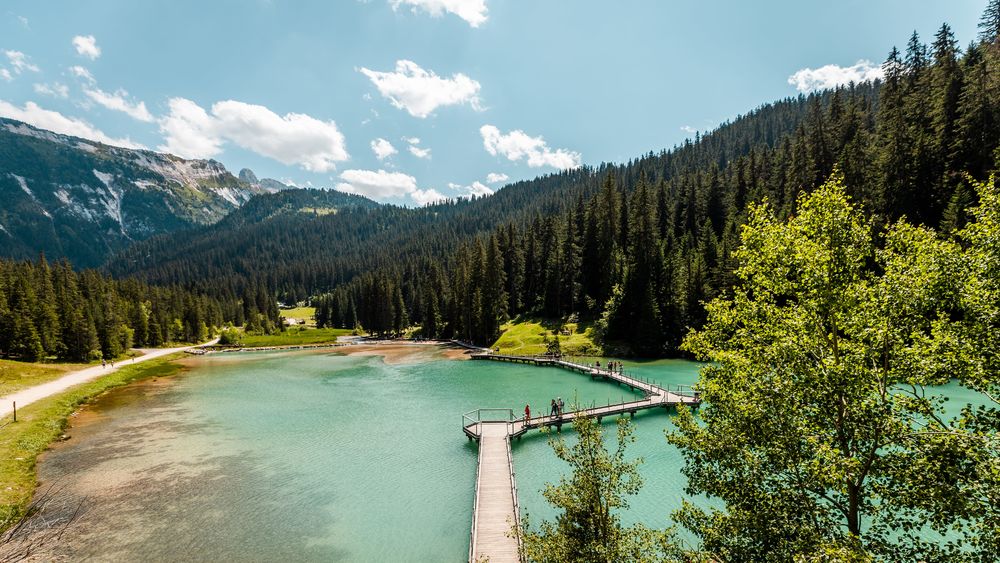
This snowshoe trail takes you through an untamed landscape to the imposing Lac de la Rosière, with the majestic Dent du Villard looming in the background.
Access to the starting point by free shuttle bus (Roc Sabal stop) or on foot from the Courchevel Moriond snow front (itinerary I).
From the Roc Sabal bend, follow the wide groomed path that runs flat into the forest for 750m. Look for a small path that descends to the left into the Laition forest. This leads to the Lac de la Rosière path. Immediately turn right onto a small path that cuts through the forest to reach the bottom of the valley, with a view of the lake. Close to the large barbecue, take a path that goes deep into the forest and then climbs steeply upwards. At the first crossroads, turn right and then, 50 m further on, left along a steep path that continues to climb through the forest.
This leads to the wide Chemin de la Rosière, which you follow up to the Route du Belvédère at the Miléade club village. Turn left up the road to the starting point.
Be careful not to park at the foot of the Dent du Villard avalanche paths.
Servicios
Precios
Gratis.
Período(s) de utilización
De 01/12 a 30/04
A reserva de buen tiempoA reserva de nieve suficiente
Inicio
Se admiten animales
1/2

Para descubrir en los alrededores
Explore nuestros paseos

Deportes pedestres
Col de la Loze par Dos des Branches
Courchevel
14.7km
Senderistas
960m
960m

Deportes pedestres
Lacs Merlet
Courchevel
9km
Adecuado para principiantes
470m
470m

Deportes pedestres
La Saulire - Lac des Creux
Courchevel
7.6km
Senderistas
0m
930m
Tras una parada en el punto más alto de Courchevel y un saludo al Mont Blanc, baje al centro de la estación.


