S4 - Col du Soufre - from Refuge du Saut

A partir de Méribel

Longitud media : 7h00

S4 - Col du Soufre - from Refuge du Saut

Acceda a

A partir de :

Latitud :

6.632165

Longitud :

45.336756

Mapa de referencia :

carte de randonnée IGN 3534OT- « Les 3 vallées-Modane- Parc National de la Vanoise »

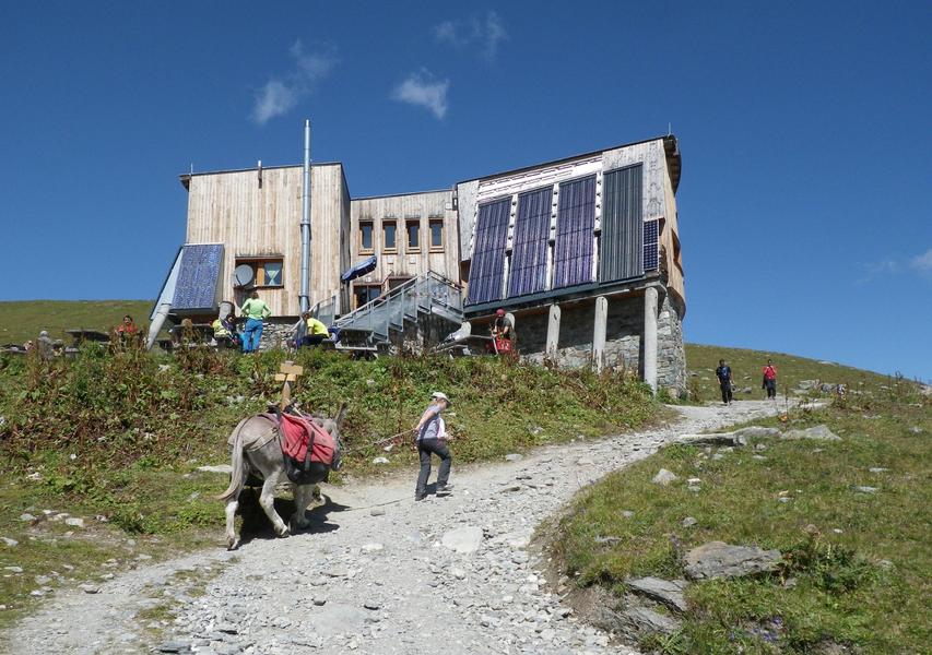
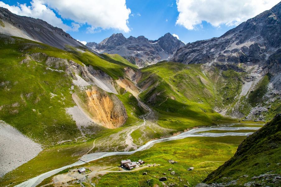
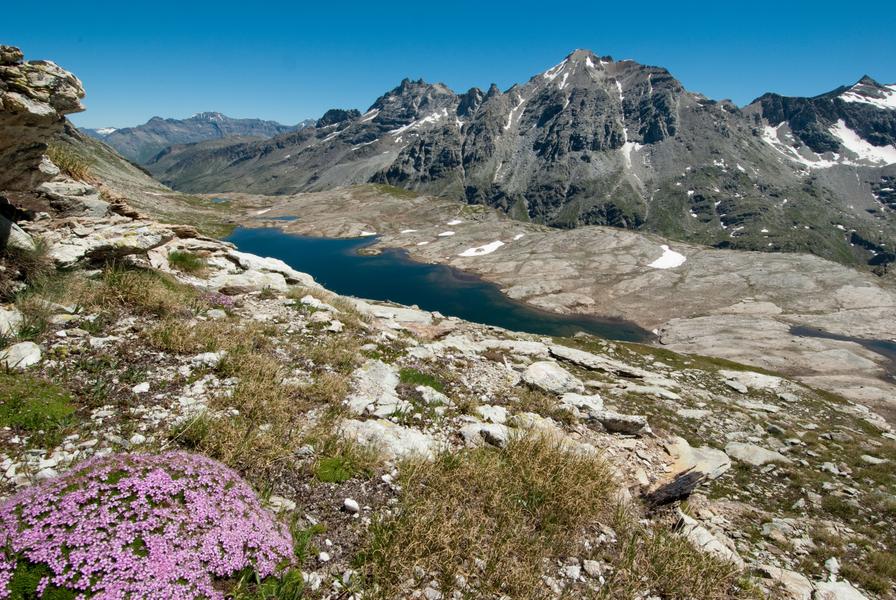
A beautiful hike along the Gébroulaz glacier starting from the Refuge du Saut, will allow you to reach the Col du Souffre (2819m). From there, it is possible to reach the Péclet-Polset refuge (allow 4 hours from the Refuge du Saut)

Información útil

A partir de Méribel

Longitud media : 7h00

Dificultad : Negro

Aller retour

Distancia : 5.5 km

Diferencia de altitud : 690 m

Gradiente negativo : 690 m

Altitud máxima : 2819 m

Itinerario señalizado

Contacto

Teléfono:

 04 79 08 60 01

Correo electrónico:

 info@meribel.net

Sitio web móvil (URL):

 https://www.meribel.net

Servicios

Precios

Gratis.

Período(s) de utilización

De 15/06 a 15/09

A reserva de buen tiempoA reserva de nieve suficiente

Inicio

No se aceptan mascotas

Accesibilidad

Criterios de accesibilidad

No accesible en silla de ruedas
Z

Explorar las pistas

Explorar

Parte de nieve

Explorar

Tiempo

Estación

°

Por la mañana

°

Tarde

Cumbre

°

Por la mañana

°

Tarde

Explorar

Nuestros socios

Logo Volvo   Discover GroupLogo HesperideLogo La Croix   Sports

Etiquetas

Label Courchevel   Famille PlusLabel Courchevel   Villes et Villages Fleuris