

Tour de la Dent
Acceda a
A partir de :
Latitud :
6.668345
Longitud :
45.407716
Mapa de referencia :
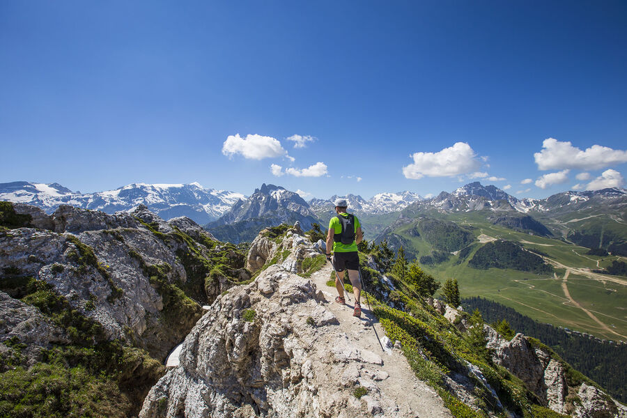
Passing through a protected wilderness area, this path is full of curious geological features related to gypsum. Few people walk this route. Tell someone exactly where you’re going, start out early and do not attempt in stormy weather.
Lac de la Rosière Car Park
By shuttle bus (line H), go to the end of the line and get off at the “Lac de la Rosière” stop.
By car, turn left at the first roundabout as you come into Courchevel Moriond, take several sharp bends heading towards Belvédère and take “Route de la Rosière” going downhill on the left, on the same level as the hiking symbol, just after Le Zenith hotel.
It can sometimes be difficult to park at La Rosière, so we recommend that you park at the Cimes Blanches car park (free covered car park in summer) in Courchevel Moriond, and take a shuttle bus that will drop you right at the site entrance.
Servicios
Precios
Gratis.
Período(s) de utilización
De 01/05 a 31/10De 01/05 a 31/10
A reserva de buen tiempo
Inicio
Se admiten animales
Para descubrir en los alrededores
Explore nuestros paseos

Deportes pedestres
Les secrets de la cabane du lac
Courchevel
km
Verde
-m
-m

Deportes pedestres
Abri du Bec de l'Aigle
Courchevel
2.6km
Verde
170m
170m
Un ambiente de bosque mediterráneo para esta ruta que conduce a este refugio de piedra.

Deportes pedestres
Lacs Merlet
Courchevel
9km
Adecuado para principiantes
470m
470m


