

Cycling up to Val Thorens via Côte-Derrière
Acesso
A partir de :
Latitude :
6.531927
Longitude :
45.484853
Referência do mapa :
Explore Savoie cycling map available from the tourist office.
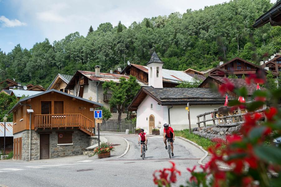
1354 Points -This variant of the classic ascent to Val Thorens is just as long and difficult as the other, but has the advantage of greater tranquillity.
Une variante agréable qui evite le passage sur la route principale. Mais attention, le village de St Laurent de la côte ne porte pas son nom par hasard ! Il vous faudra enchainer rudes épingles et forts pourcentages pour y parvenir avant de rejoindre ensuite la route classique à St Martin. Cette ascension a vu le passage du tour de France en 2019 lors d'une courte étape Albertville-Val Thorens.
Serviços
Preços
Free access.
Período(s) de uso
De 01/05 a 30/10
Casa
Animais de estimação permitidos
Para explorar nas proximidades
Explore nossas caminhadas

Courchevel
7.3km
430m
430m

Courchevel
km
-m
-m

Courchevel
15.7km
1300m
1300m


