

Chemin pédestre de la Duis
Доступ
Начало :
Широта :
7.091144
Долгота :
45.380079
Ссылка на карту :
Map IGN 3633ET - Tignes Val-d'Isère
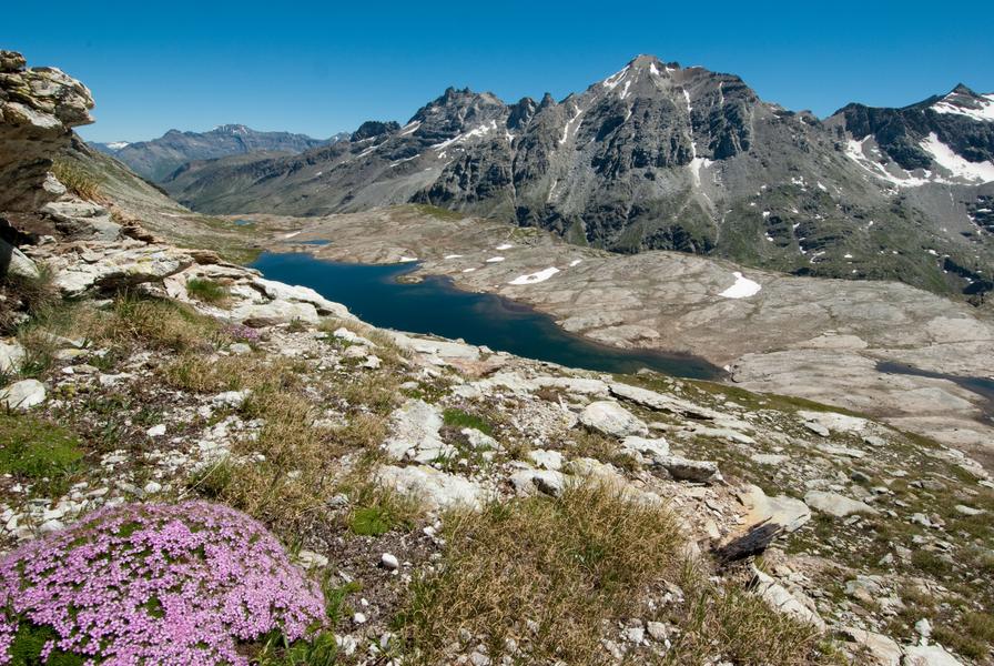
Congratulations! You've discovered a haven of peace, perfect for a stroll
on the banks of a major torrent in the Haute Maurienne Vanoise. Embark
on an adventure in a valley sculpted by the Arc river, at an impressive
altitude of 2,000 metres right in the centre of the Vanoise National Park.
The tall willowherbs, gently caressed by the breeze, greet you with grace
as you pass by. In shades of vibrant fuchsia pink, they wipe everyday life
from your mind and the crowds of visitors you encountered at Écot become
a distant memory.
Your feet are flying along this easy alpine trail, and around a bend, you enter
the Duis valley, humbly protecting the Sources de l'Arc, high up there, under
the glaciers of the Clavarini and Girard peaks.
The welcoming chalets of Duis appear, as the last signs of human presence
in this little haven of peace that just begs to be preserved.
Mesmerised by the tumbling torrent, your gaze transfixed by the cool blue
waters, you find you're already sitting down for a peaceful rest. But how far
will this agile trout swim among the rocks? Would it give us permission to
dip our hands in just for a moment, to cool off? No, of course not. The thick
cream we use to avoid bad sunburns isn't her best friend…
Услуги
Цены
Вход свободный.
Период(ы) использования
От 15/06 до 15/10
При благоприятных погодных условияхПри наличии снегового покрова
Дом
Домашние животные не принимаются
Что стоит посетить поблизости
Ознакомьтесь с нашими прогулками

Пешеходные виды спорта
Courchevel
km
Очень легкий
-m
-m

Пешеходные виды спорта
Sentier botanique et Cascade des Poux Forêt du Laition
Courchevel
4.8km
Любители пеших походов
230m
230m

Пешеходные виды спорта
Courchevel
6km
Очень легкий
175m
175m
Постоянная горная тропа!


