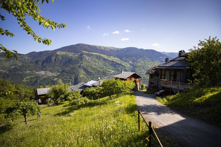
Chemin des chevreuils

Ausgehend von Courchevel

Durchschnittliche Dauer : 1h15

01 / 04

Chemin des chevreuils

Zugang

Ausgehend von :

Breitengrad :

6.597822

Längengrad :

45.431788

Kartenref. :

Cut out of the rock face, this footpath links the villages of Le Praz and La Tania and gives you pretty views of villages on the facing mountainside.

“Chemin des Chevreuils” Hiking Symbol

By shuttle bus, get off at the “La Tania” stop.

By car, drive to La Tania from Le Praz and park, either in Le Saz car park before returning to the resort, or in Le Formier car park in the resort centre.

A hiking symbol is located next to the “Route de Praz Juget” at the resort entrance, down from the La Tania gondola lift departure station.

Praktische Informationen

Ausgehend von Courchevel

Durchschnittliche Dauer : 1h15

Schwierigkeitsgrad : Grün

Aller retour

Distanz : 4.1 km

Positiver Höhenunterschied : 100 m

Negativer Höhenunterschied : 100 m

Max. Höhe : 1260 m

Markierte Route

Kontakt

Telefon:

 04 79 08 00 29

E-Mail-Adresse:

 info@courchevel.com

Telefon:

 04 79 08 24 14

E-Mail-Adresse:

 mairie@mairie-courchevel.com

Leistungen

Preise

Kostenlos.

Zeitraum(e) der Praxis

Von 01/01 bis 31/12

Nur bei günstigen Wetterbedingungen

Empfang

Haustiere akzeptiert

1/4

Z

Unsere Wanderungen erkunden

missing alt

Laufsportarten

Courchevel

11km

Blau

335m

335m

Ein permanenter, bergtypischer Trail!

missing alt

Laufsportarten

Tour de la Dent

Courchevel

12.9km

Wanderer

1080m

1080m

missing alt

Laufsportarten

Courchevel

9.1km

Grün

490m

490m

Erkunden Sie die Pisten

Erkunden

Schneeberichte

Erkunden

Wetter

Station

°

Morgen

°

Nachmittag

Gipfel

°

Morgen

°

Nachmittag

Erkunden

Unsere Partner

Logo Volvo   Discover GroupLogo HesperideLogo La Croix   Sports

Label

Label Courchevel   Famille PlusLabel Courchevel   Villes et Villages Fleuris